The first picture shows the old lawn (?) of the castle and the ruins can just be seen through the trees......This is the direction of one of the previous attempts to take the castle on November 28th.

The second picture is taken 180 degrees from the first and shows the old access road to the castle.

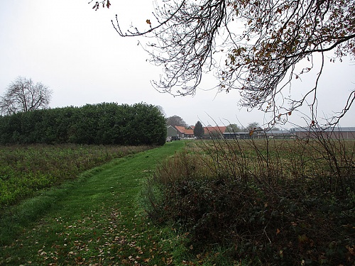
The third picture shows another old road....at the time, this road ran along the castle and into town. An attempt was made by 2 flails to take this road, but they got bogged down quickly.....these tanks were later recovered.
The fourth picture shows the view from the German positions towards the British attack.

The 5th picture is taken at another access road into Broekhuizen....along the Maas river. This is approximately the location where Sam Halls flail was hit by a Panzerfaust.
